Istituto Geografico Militare
The Istituto Geografico Militare occupies part of the basilica of Santissima Annunziata which belonged to the Servite monastic order suppressed by the Italian government in 1866. In 1872 the Istituto Topografico Militare was founded, with the fusion of the topographical offices of the various Italian states (later the Istituto Geografico Militare). Today it carries out geodesy, topography and cartography work. It is also the seat of the Scuola Superiore di Scienze Geografiche (SSSG).
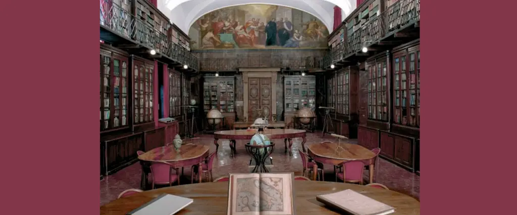
Inside the building is the imposing hall, formerly the library of the Servants of Mary, which today houses the Institute's book heritage and performs the functions of the Italian State Cartographic Authority with
200,000 volumes and 175,000 types of maps: a collection of atlases from all over the world from 1570 to the present day, a cartographic library, a newspaper and periodicals library with around 750 national and foreign publications and photographic collections.
The complex dates back to the founding of the Servi di Maria convent (around 1250). The surrounding rooms date from the end of the 13th century, while the rooms adjoining the second cloister date from the 14th century. Between 1444 and 1454, the monastery was completely renovated by Michelozzo, while another intervention by Leon Battista Alberti dates back to 1471. Subsequent interventions date back to the 17th century, such as the modernisation of the buildings of the first cloister, the dormitory, the refectory and the library, which housed monumental gilded and inlaid wood bookshelves from 1694 until 1871. In the two gables of the room (now the IGM library) are two large 17th-century frescoes.
Useful information
Visits by reservation only